Using Handheld Laser Scanning for Land Surveying
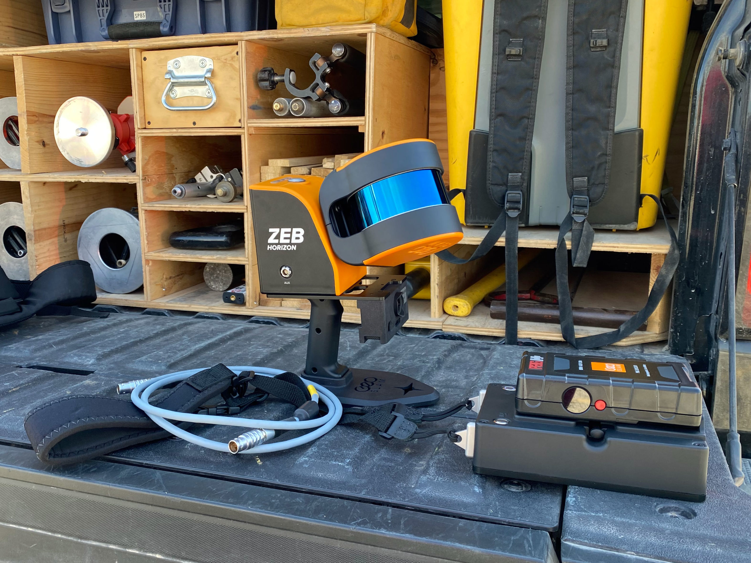
In addition to offering UAS services along with our list of advanced surveying technology, our surveyors now have the capability to conduct a survey as they move, using the GeoSLAM Zeb Horizon Handheld Laser Scanner. This handheld scanner allows us to collect data quickly and in the most unique locations, expanding the services we provide to clients.
The Zeb Horizon scanner collects thousands of points per second and can be used in a variety of environments. Surveyors can create a map of a location as they walk around, collecting 300,000 points per second with a range up to 100 meters. The handheld Zeb Horizon scanner is lightweight, capturing data quickly and easily. It can be used in outdoor, indoor or underground environments.
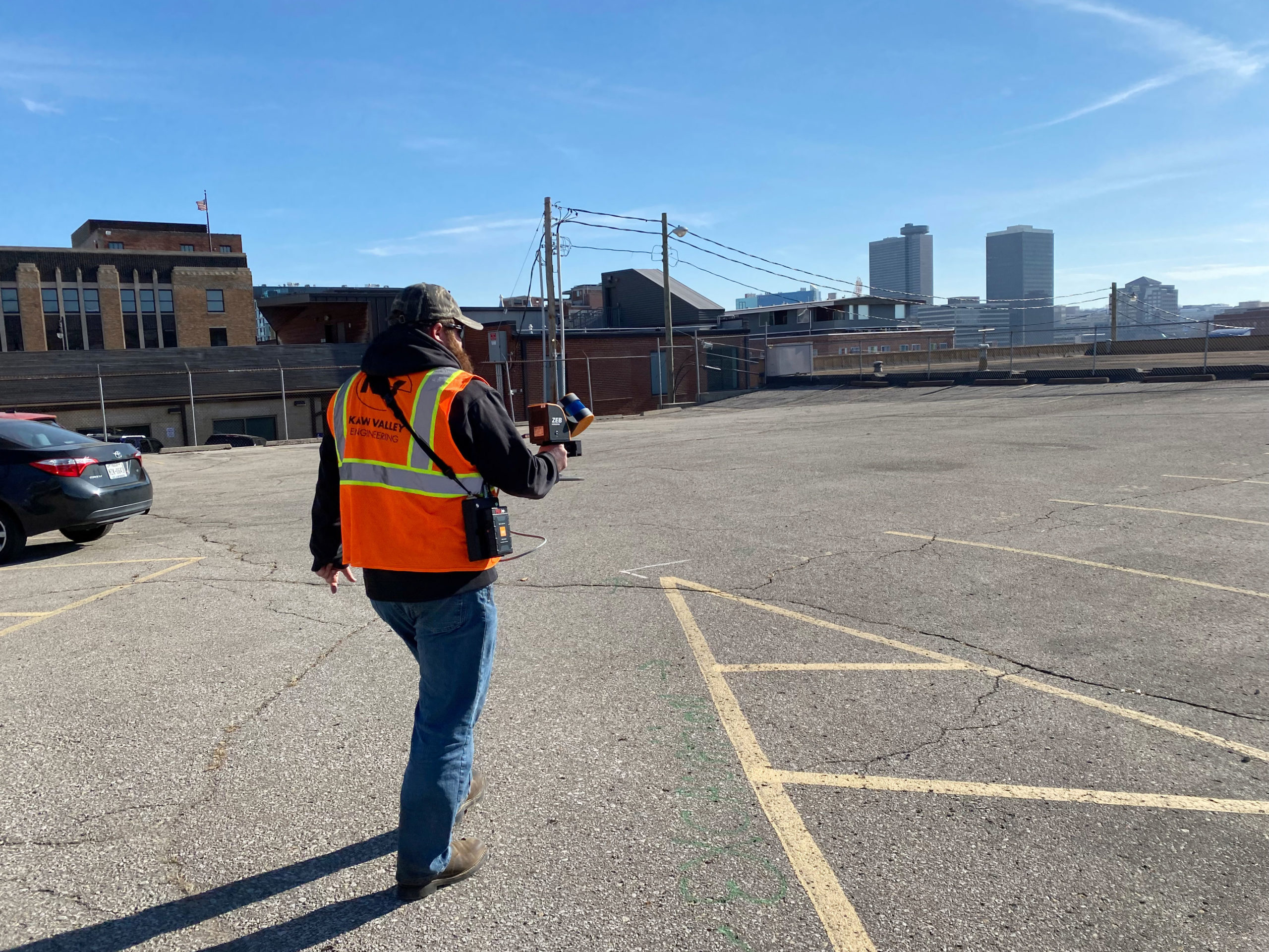
One of our survey crews recently used this instrument to map a block near downtown Kansas City, Missouri. This tool was useful for this unique environment because the surveyor could walk down the sidewalks and alleys, collecting points bouncing from the nearby buildings.

We continuously use the most advanced survey technology to provide the most accurate and timely product for clients. For more information about our survey services, please click here.
Since 1982, Kaw Valley Engineering has been the team of experts needed to help take a project from inception to completion, providing a full range of civil engineering, geotechnical engineering, surveying, construction observation and materials testing services throughout the Midwest. Our firm has offices in Junction City, Lenexa, Salina, Emporia, and Wichita, Kansas; and Kansas City, Missouri.